Use drone roof imaging in Rock Hill to document broad roof areas and hard-to-reach views, with follow-up hands-on checks where details need closer review.
A high roof section or wide building footprint can make it difficult to see how separate areas connect. Drone imaging can add an aerial view of accessible roof surfaces, edges, rooftop equipment, and general layout. We use that perspective to document visible conditions and identify locations that may need closer examination. It does not reveal concealed layers, confirm moisture below a membrane, or replace hands-on inspection of seams and flashings. In Rock Hill, manufacturing and distribution properties sit alongside retail, institutional, and mixed-use buildings, so each flight plan and view is shaped by the site. For a property in Riverwalk Business Park or Knowledge Park, we confirm access, operating conditions, and the roof areas to be photographed before arranging imaging.
Choose the Aerial View
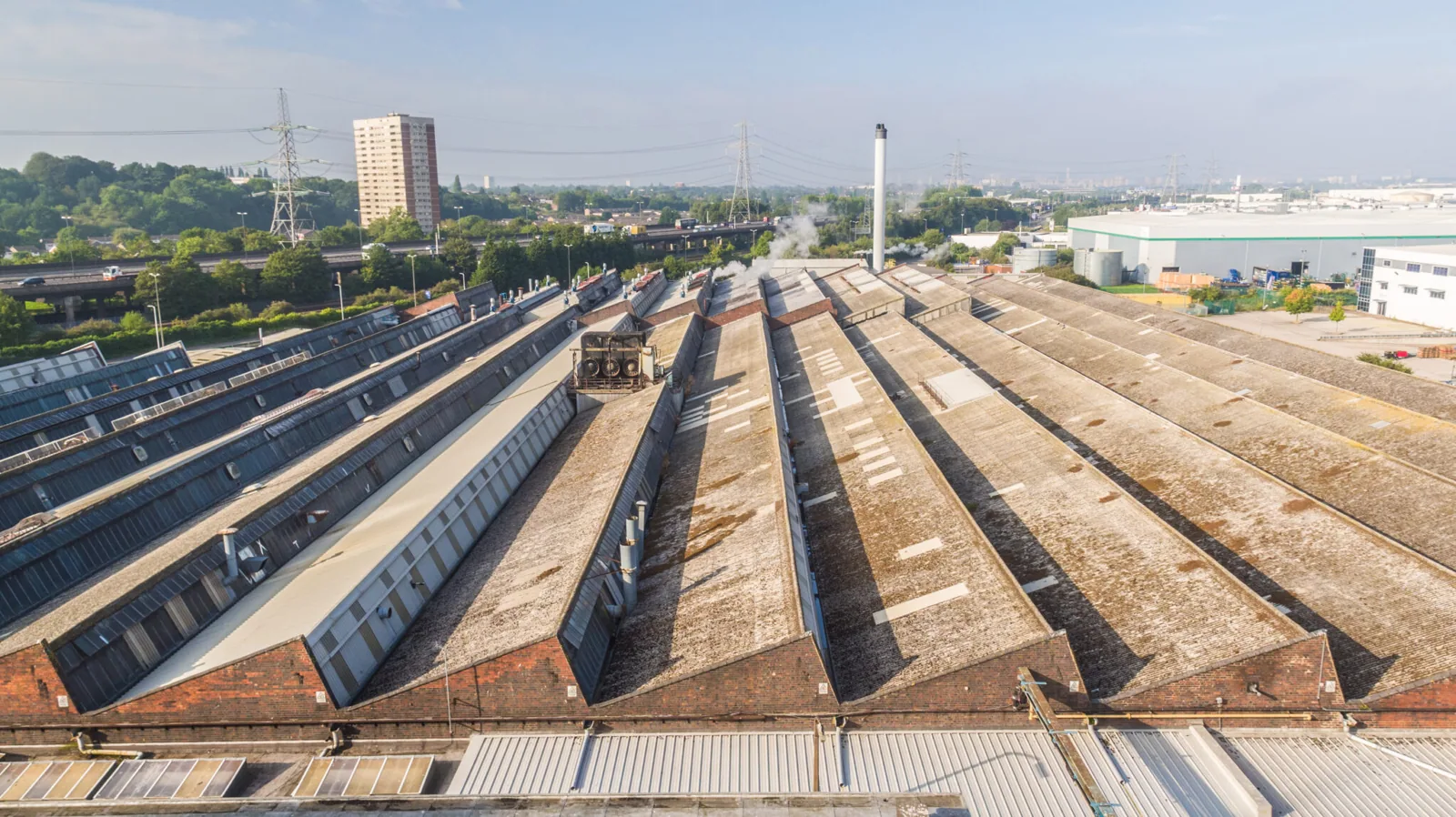
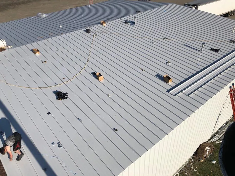
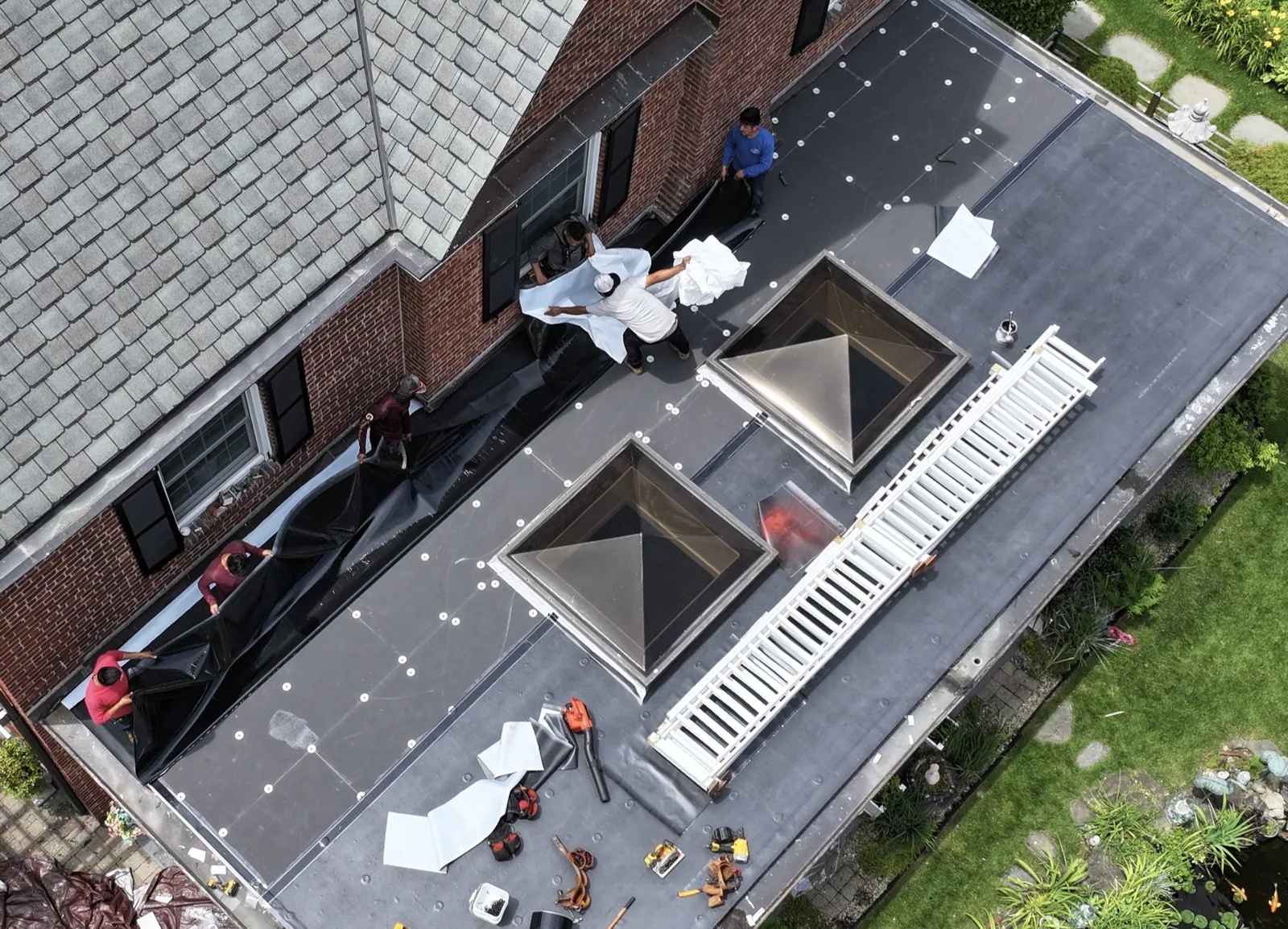
Drone imaging can help when a roof is extensive, a section is difficult to access, or a facility contact needs an overview before planning a closer inspection. A flight can capture broad membrane fields, roof edges, equipment groupings, transitions between sections, and visible debris or standing water. Images may help locate a concern in relation to roof zones and provide a dated visual record for comparison. Aerial coverage is most useful when the question is clear: which section is involved, where an access route may be needed, or how visible roof features are arranged.
It is not a substitute for a roof walk where hands-on checks are needed. A camera view may not show a lifted seam, weak attachment, puncture hidden by equipment, or the condition beneath a flashing. Image scale, shadows, angle, surface color, glare, and wind can limit what the view reveals. We label the image set with the areas captured and the limits of the view. Where close inspection is warranted, we can identify the zone for a separate hands-on commercial roof inspection. The two approaches answer different questions and can be planned together when the building and access conditions support both.
Prepare the Site and Flight Area
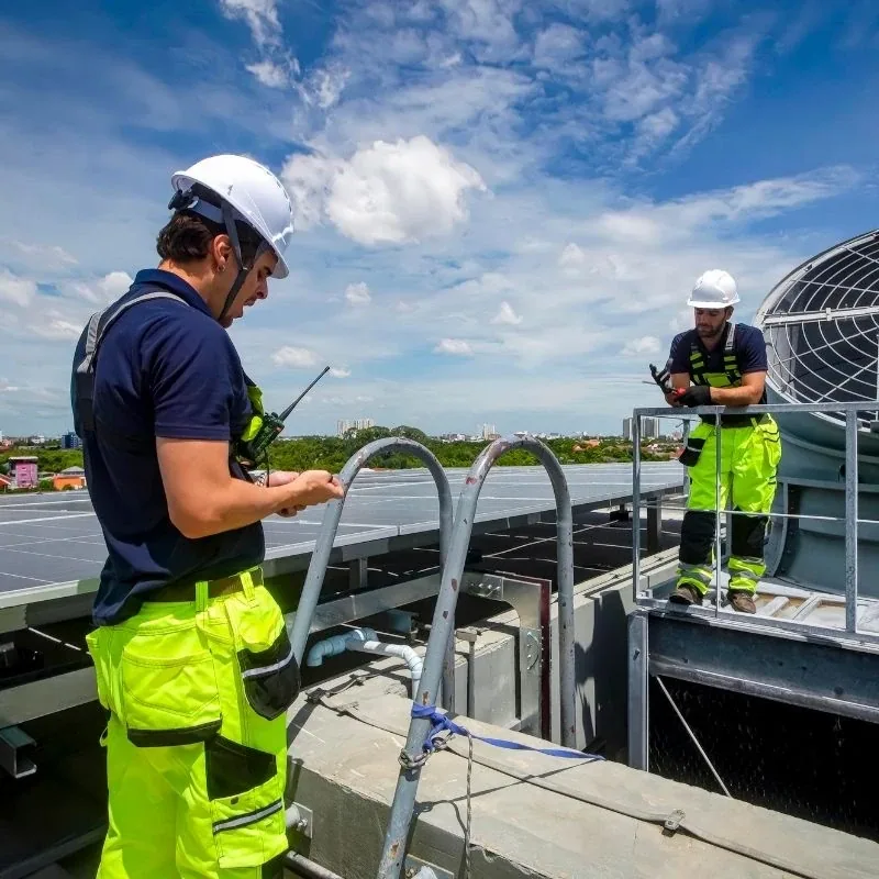
Before imaging, we confirm the property contact, roof outline, requested views, and any site-specific restrictions. Facility staff can identify active loading areas, outdoor work zones, pedestrian routes, sensitive operations, and times when the roof perimeter is busiest. We also review practical flight conditions and whether the requested views can be captured safely. Weather, wind, visibility, nearby obstructions, and access constraints can affect the plan or require a different date. If a view cannot be completed, that limit is recorded rather than treated as coverage.
Rock Hill's industrial and business parks serve manufacturing, distribution, and office occupants, and I-77 connects Rock Hill's business parks and commercial areas. Before imaging near a business park or mixed-use district, we confirm the property's access, permissions, and operating conditions with the facility contact. The facility team should share a site map when available, point out roof sections of interest, and identify any equipment or areas that should not be photographed. An aerial inspection starts with a defined view list, not an assumption that one pass covers every relevant detail.
Capture Roof Zones and Context
During capture, we work through the agreed views and keep the roof orientation clear. Overlapping images can help show where one field meets another, how rooftop units relate to roof edges, and where a visible concern sits relative to access points. We record general context and close views when resolution and conditions allow. If glare, shadows, height, obstructions, or wind prevent a useful image, we note that limitation. The aim is a usable record of the visible surface, and mark visible details that need a closer roof check.
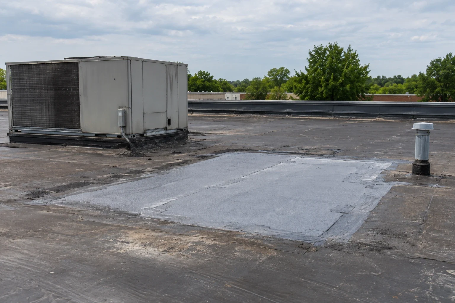
Rock Hill experiences a warm, humid Piedmont climate with regular rainfall. After rain, a view of visible water accumulation can help locate a follow-up check of the outlet, slope, and nearby membrane. York County's tornado history and the western Carolinas' hail activity make post-event imagery useful for documenting visible changes. A hands-on check determines whether a mark is damage and what repair it needs. When moisture beneath the surface is the question, a targeted infrared moisture survey may be discussed separately, subject to conditions and method limits.
Review What the Images Show
We organize images by roof zone and describe visible features in plain terms. A photo can show the location of equipment, debris, open-looking edges, ponding, or a surface change. It cannot establish the depth, cause, or repair method for every condition. We avoid labeling a mark as storm damage or a leak source unless a closer inspection supports that conclusion. If an image suggests a concern, the report can name the view, state what it appears to show, and list the next check that could confirm the issue.
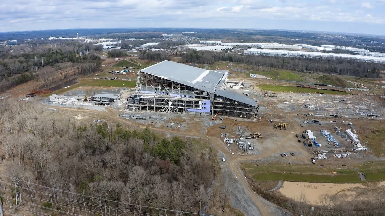
Knowledge Park links downtown Rock Hill with Winthrop University, while Riverwalk Business Park includes manufacturing, distribution, and office occupants. Those different settings affect flight paths and access rules, so the plan starts with the site contact, active rooftop equipment, and any restricted areas. The flight route and any follow-up inspection follow the building's access rules and restricted areas. For maintenance planning, a photo-backed condition report can combine aerial views with observations from a hands-on visit. A repair inspection can then focus on an identified detail where closer work is justified. Images remain a visual record, with the flight boundary and unresolved questions stated alongside them.
Connect Imaging to Roof Decisions
Drone imaging can help an owner decide which roof zones to inspect, how to plan access, and what context to include in a maintenance discussion. The image set is most useful when paired with the reason for the visit and an accurate roof map or building outline. We can compare a later set with the same viewpoints when conditions allow, while recognizing that differences in light, weather, and camera angle can affect apparent surface color.
If the images reveal a likely repair location, we can discuss a hands-on check and define a bounded scope before work proceeds. If broader evaluation is needed, the owner can request a full condition review. Neither route assumes that a visible mark is a leak or that a roof requires replacement. The follow-up should answer the remaining question with the method suited to it. Share the roof plan, areas of concern, and site constraints before scheduling so we can determine whether aerial capture adds value and which additional inspection, if any, should follow.

Questions About Drone Roof Inspection
Images can show roof surfaces and features visible from the planned views, but obstructions, shadows, height, wind, and image scale can limit coverage. The image set names the areas captured and any gaps. Hands-on access or another method may be needed for details that cannot be confirmed from above.
No. Aerial views can help locate visible conditions and orient a follow-up, but they do not trace water through concealed layers or establish hidden moisture. A hands-on inspection or targeted diagnostic test may be needed to answer those questions.
It can complement a roof walk by documenting broad areas and hard-to-reach views. It does not replace close checks of seams, flashings, attachment, or materials that require contact. We recommend the next method based on the question and the actual roof conditions.
Weather, wind, visibility, obstructions, site operations, access, and property-specific restrictions can change the plan. We confirm the flight area and practical conditions with the facility contact. If requested views cannot be captured safely or usefully, we document that limitation and discuss another approach.
Plan a Roof Imaging Visit
Share the roof outline, the views you need, and site access or operating constraints. We will confirm whether aerial capture fits the question and identify any hands-on follow-up that may be needed.